CONTRIBUTED TO THE OBSERVER
AUBURN — The city of Auburn will hold its inaugural GIS Day celebration on Friday, Nov. 17, from 10 a.m. to 5 p.m. at Boykin Community Center Auditorium, located at 400 Boykin St., with collaborators from the city of Opelika, Auburn University and Lee County Mapping & GIS.
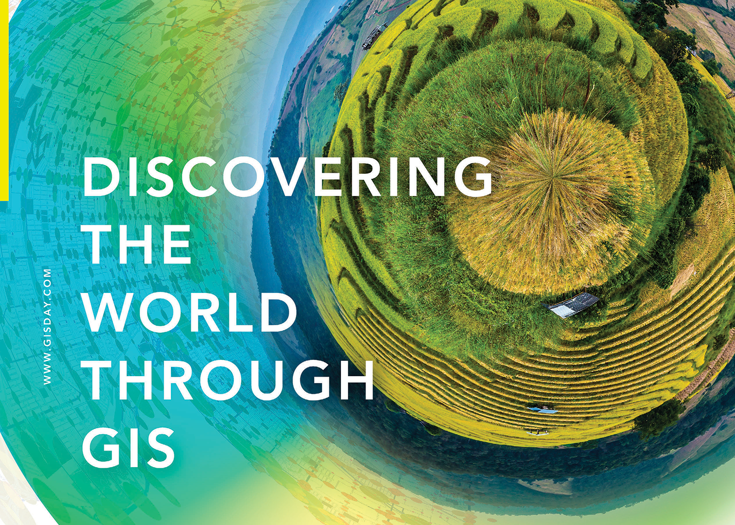
The celebration will recognize and showcase innovative applications of geographic information system (GIS) technology in analysis, visualization, gaining insights into geospatial data and thought leadership in the field of local government and academic research.
GIS Day was first established and observed in 1999 by the founder and president of Esri, a GIS software company. The explosion of geospatial technology since then has expanded that idea into a global event that shows how geography and the real-world applications of GIS are making a difference in business, government and society. It’s a chance for organizations to share their accomplishments and inspire others to discover and use GIS.
Both the city of Auburn and the city of Opelika have won awards at the state and national level for their uses of GIS technology. Auburn University uses GIS within many of its programs, including its Department of Geosciences within the College of Sciences and Mathematics.
“GIS Day is an excellent way to share the potential of this technology with the community” said Stephanie Thompson, the city of Auburn’s GIS coordinator. “We look forward to showcasing how each of our organizations currently use GIS to serve our residents while also discussing the many different ways it can be utilized in professional and academic settings.”
The city of Auburn will be one of hundreds of organizations hosting in-person and virtual gatherings worldwide that will celebrate the impactful work of GIS professionals and serve to ignite the imagination of the future innovators who will further advance global progress using GIS.
For more information on how the city of Auburn is innovating through the application of GIS, visit auburnalabama.org/maps.